JDM Trivia #6: 1981 Nissan Drive Guide System
This weeks trivia is all about the 1981 Nissan Drive Guide system which was basically a crude navigation system for the Nissan Skyline DR30 and the Nissan Gazelle and Silvia S12. Nobody took a wild guess at the teaser from last week, but I’ll get to the purpose of the antenna in this episode!
In the 1970s the most advanced navigational system in your car was…a road atlas and a compass! Of course the US military was solving that problem by shooting up GPS satellites from 1973 onwards but the automotive industry also made attempts. In the 1980s in Germany and the US companies used antennas to send signals via various radio frequencies but this was very costly. Meanwhile in Japan Toyota, Honda and Nissan made their own attempts to solve the car navigation question.
1980s Japanese Navigational systems
In 1981 Honda implemented a system called Electro Gyrocator and this system breathed tech savvy Hondaness as the system used an Helium gas gyroscope to detect both rotation and movement. The complex system required printed plastic maps and if you are interested in more photos and background information, Japanese Nostalgic Car blog wrote an article about it. In the same year Toyota implemented a system on their Celica XX but I was not able to find any information about how that system worked.
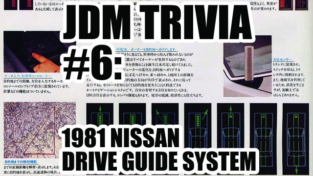
Also in 1981 Nissan implemented their own Nissan Drive Guide system that was a lot less complex than the Honda Electro Gyrocator. All the driver had to do was set the direction and the distance and the Drive Guide system would lock on its target. It would display in 16 directions around the vehicle where to go and how far you actually are from the target. Nissan created this system using both a directional sensor and a velocity sensor. The velocity sensor was obviously linked to the speedometer and the directional sensor measured the movements compared to the earth magnetic field. Let’s just advanced compass in laymen-terms. With the combination of these two a microprocessor continously calculated the distance and the new direction to drive to.
Directional sensor: a compass?
This directional sensor really is a piece of art: its core rotates continously and uses a photo sensor to measure the position of the core compared to the car. At the same time there is a magnetism detection coil is used to detect the difference in magnetism: every time the core revolves inside this coil a phase voltage is created. The difference between two phases can then be used to calculate the directional movement of the car. Why didn’t they use a simple compass instead? A compass is unreliable as the car around it is a big chunk of metal that gets electro-magentically charged while driving. To overcome any interference of the cars magnetic field the directional sensor was mounted on a retractable antenna. Aha, so that’s what the antenna is for!
Did it work?
How well did this system work? Not very well at all. The designers of the system admitted in their publication that it doesn’t work very well on long distances and it was mainly meant for distances below 10 kilometers. I have been told by many that Japanese cities are like small mazes and it is easy to lose your direction and you could end up walking in circles a lot. So even though the system is not very useful for highways and suburbs it actually made a lot of sense in the country where it had been designed.
Next time
Teaser for next time:
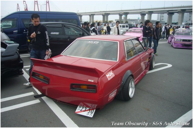
What do you see in this picture?
Direct link to video: JDM Trivia #6: 1981 Nissan Drive Guide system

I think I read about the Toyota one somewhere but can´t find the page.